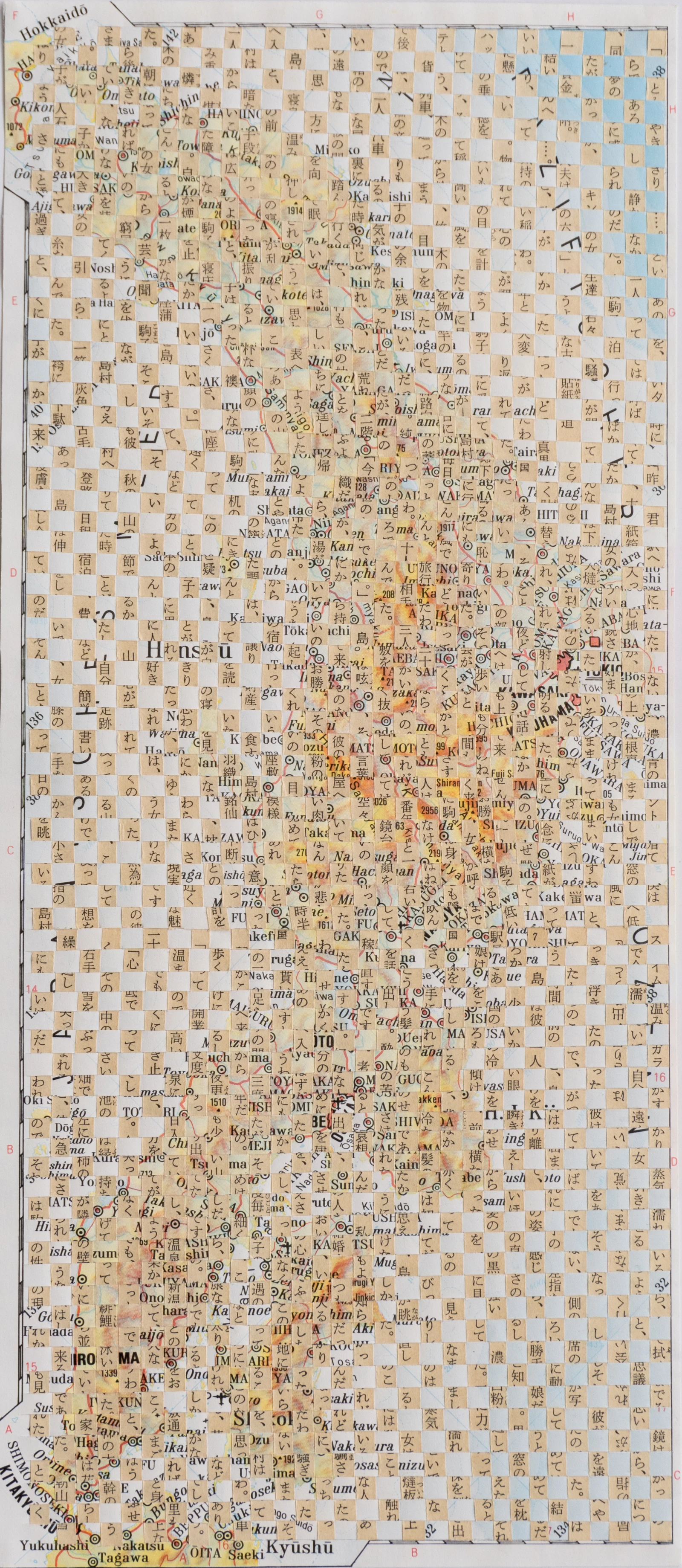
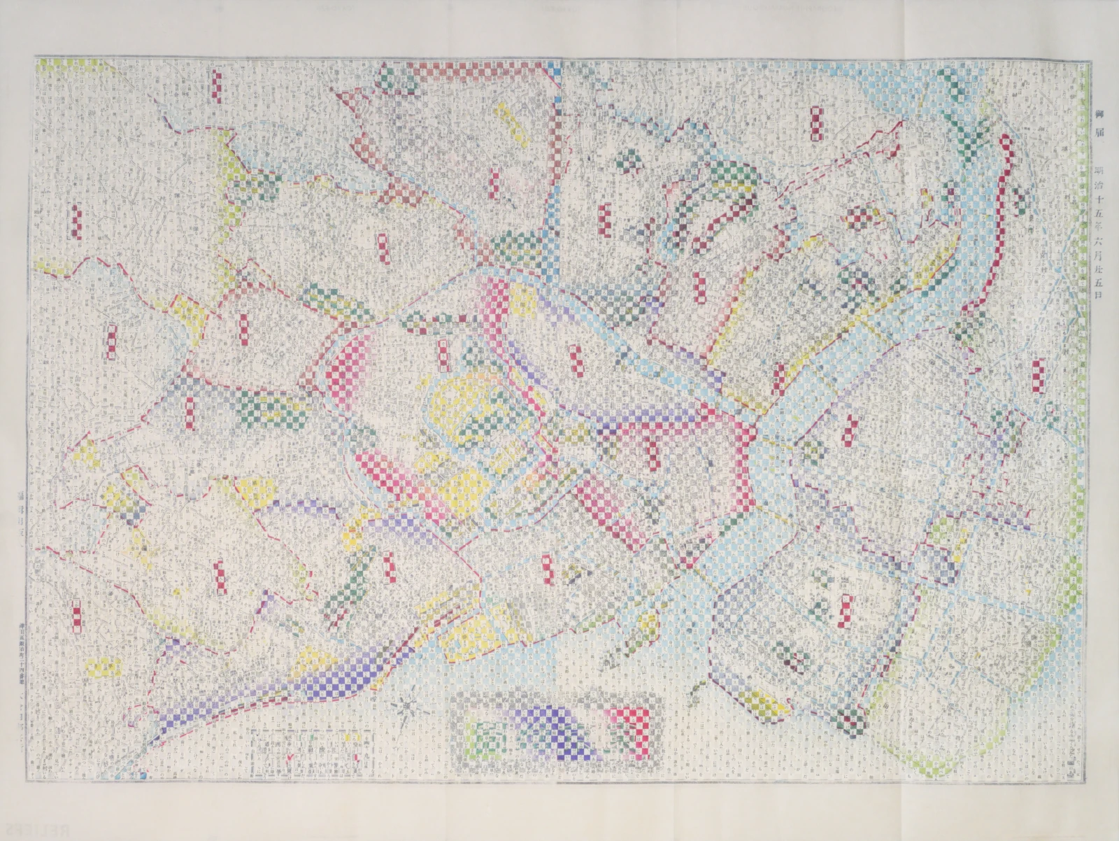
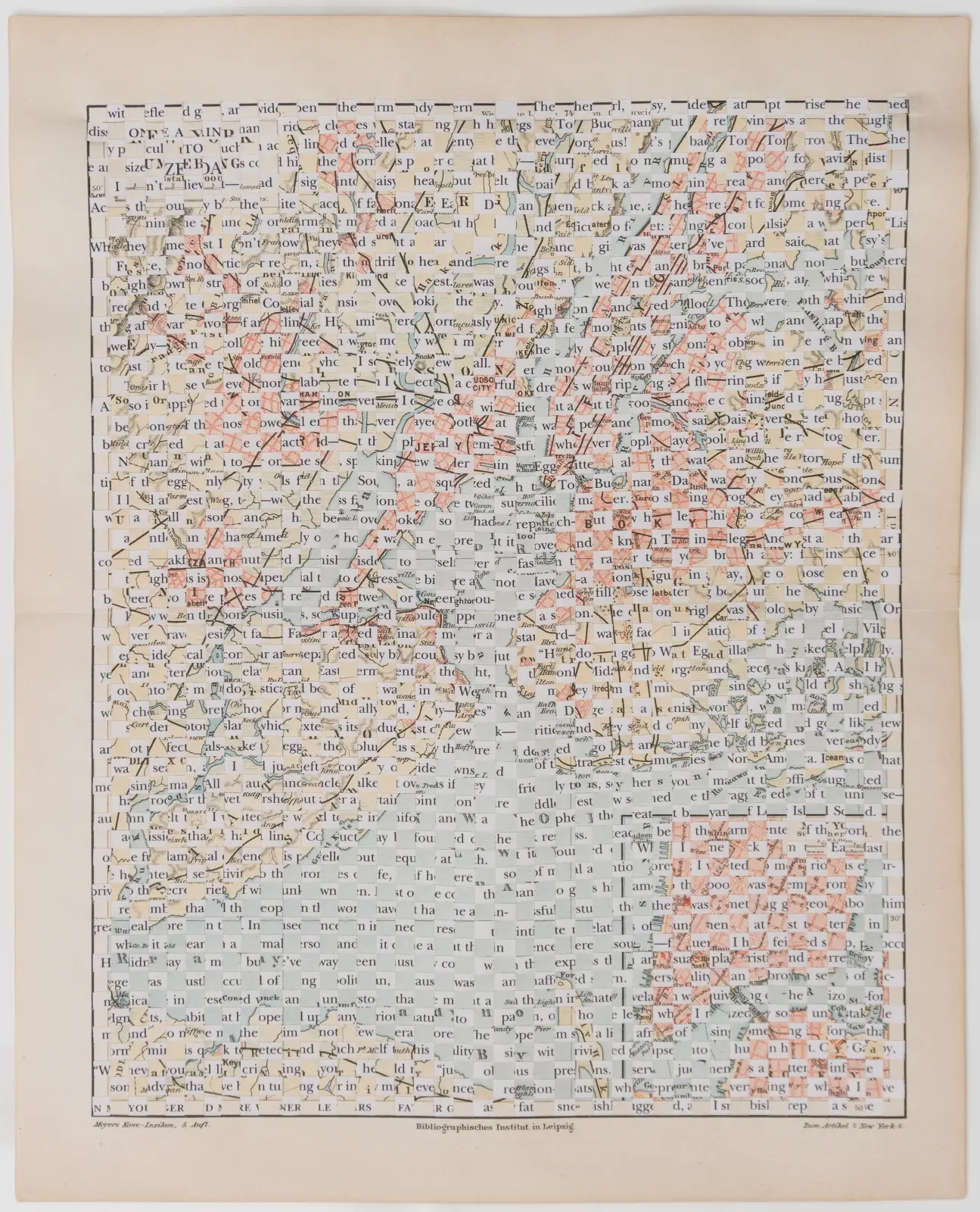
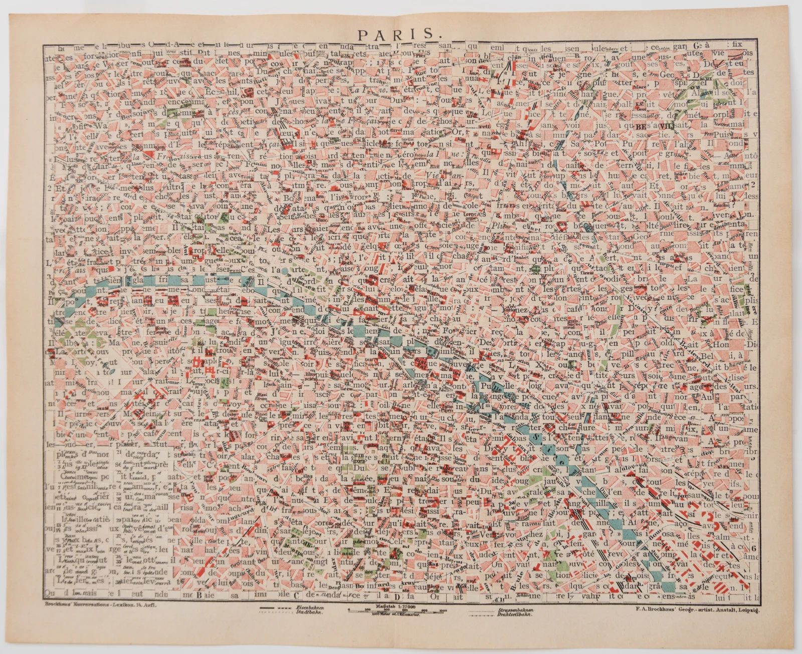
Maps
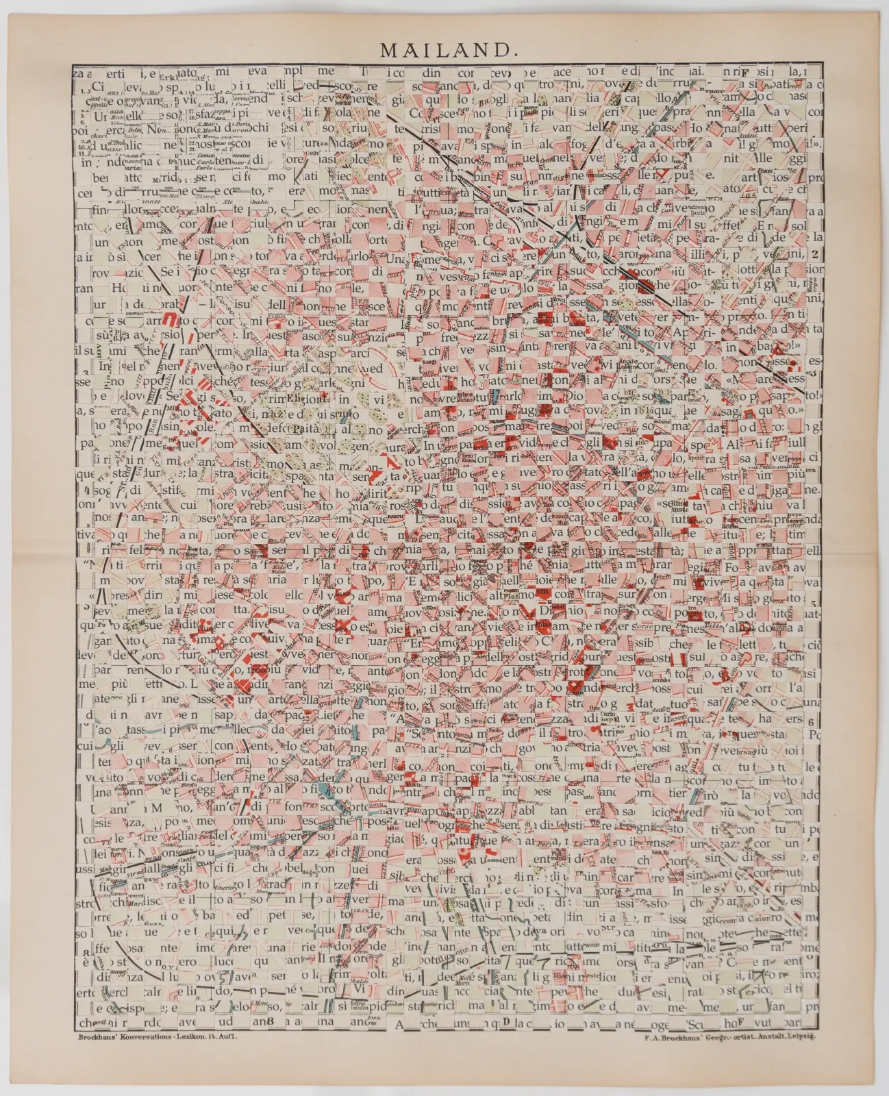
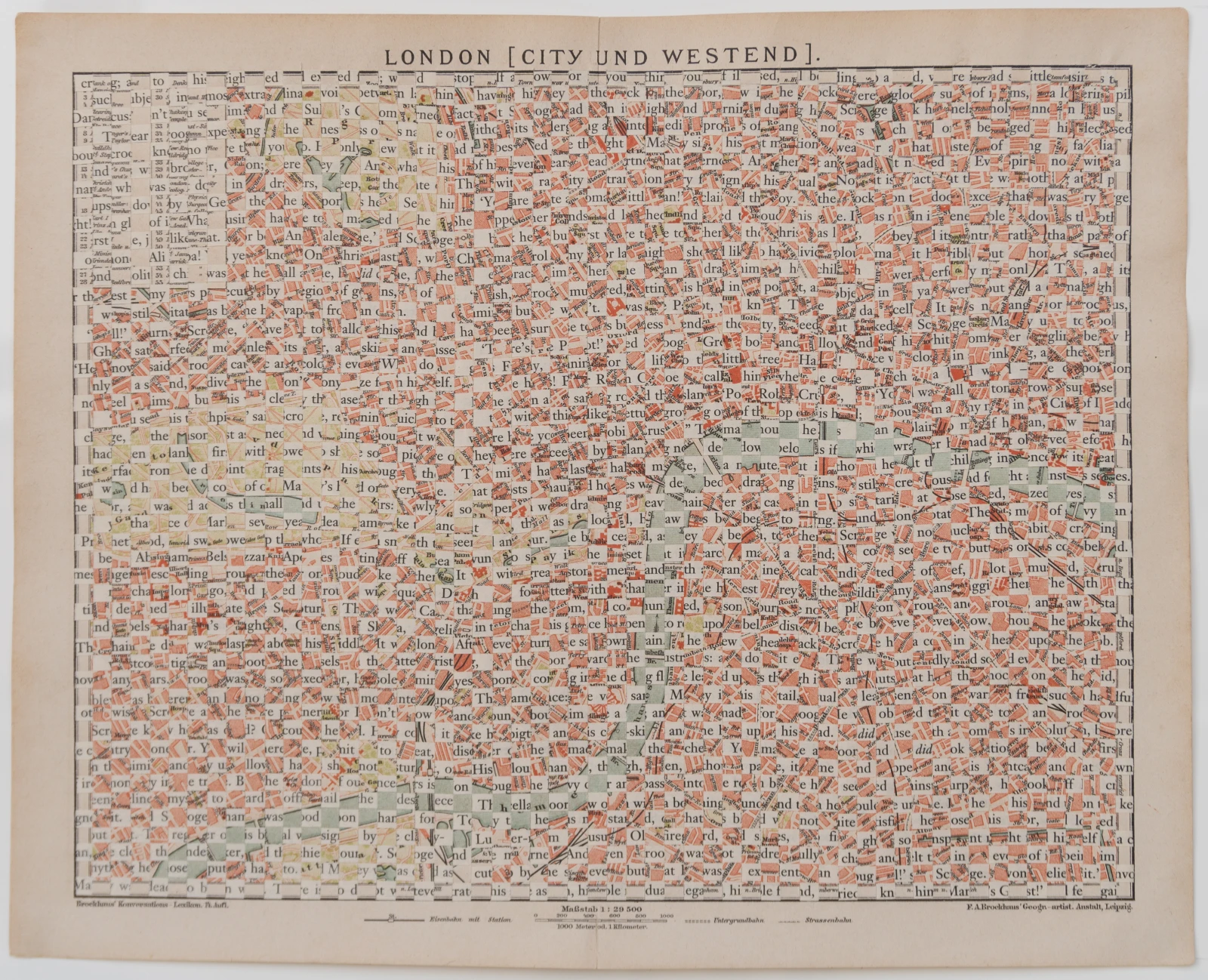
In the Greek myth of the wedding between Chthon and Zas, that is, between Earth and Sky, and of the cloak offered to the Earth, Pherecydes, born in the 6th century BC, recounts what may be understood as the first marriage in the world. At that time the Earth is not yet Ge, the bright one, the visible one, but Chthon, the subterranean, the dark one. Chthon arrives at the wedding veiled. When she unveils herself, the groom places upon her shoulders a cloak that he himself has embroidered. Between the veil and the cloak, for one very brief instant, the bride remains naked, and it is precisely in this instant of unveiling that, for the ancient Greeks, truth becomes accessible. From the primordial veil, however, one passes in a flash to the nuptial cloak. But the latter is not a mere garment: upon it the groom has embroidered rivers, lakes, mountains, he has invented the cartographic representation of the Earth. I can think of no more fitting image with which to introduce my series of maps. They are stratifications in continuous transformation. Streets that change name according to the era are only the most striking example; the entanglements of urban growth obliterate entire neighborhoods and create wholly new ones; the novel intersects the typographic lettering of the map, inventing names that never existed before. After all, through cartographies we try to grasp a place, but can we ever say we have truly grasped it? Maps communicate and yet always retain a part of incommunicability, because they are a cloak. The cloak.